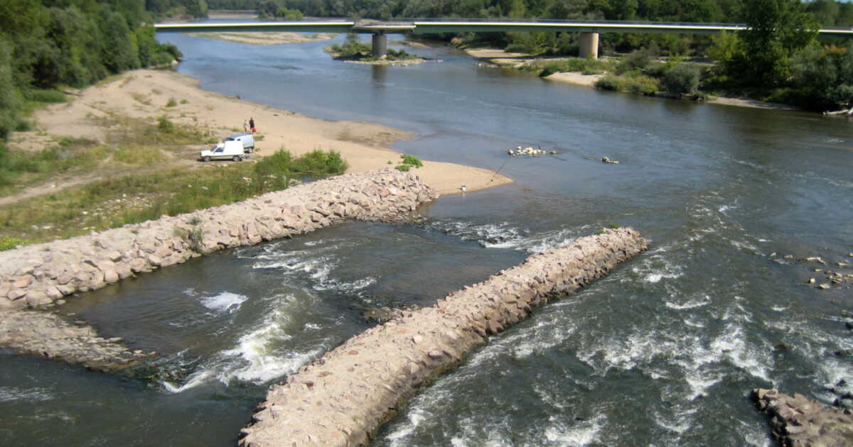
The upper reaches of the Loire, between Saône-et-Loire and Ardèche, wind through increasingly rugged terrain. The loops that depart from the river become more challenging if one wishes to keep elevation gains reasonable. Yet there are options to explore this upstream stretch of the Loire.
From Paray-le-Monial to Montrond-les-Bains
North of Saint-Étienne, passing through Roanne, the Véloire covers about 140 km, alternating small roads and a dedicated greenway. Returning by train is possible (several changes). Local cycling loops complete the route. loiretourisme.com/la-veloire
Further south, starting from Lavoûte-sur-Loire
About 15 km from Le Puy-en-Velay, the Via Fluvia connects the Loire to the Rhône, largely along an old railway line converted into a greenway. The route is almost entirely developed. From the Rhône, return by TER (several changes). viafluvia.fr
Beyond Le Puy-en-Velay
The Loire takes on the appearance of a mid-mountain river. There remain 50 km and 800 meters of elevation to reach its source, at Mont Gerbier-de-Jonc. To venture there, one can, for example, opt for the route “Les flots de la Loire sauvage,” offered by the local agency L’Autre Chemin. lautre-chemin.com
➤ Article paru dans le magazine GEO HS n°134, “Grandes évasions à petite vitesse”, de août-septembre 2026.
➤ Do you love GEO? Then to miss nothing, discover our subscription options for receiving GEO at your home every month with ease.